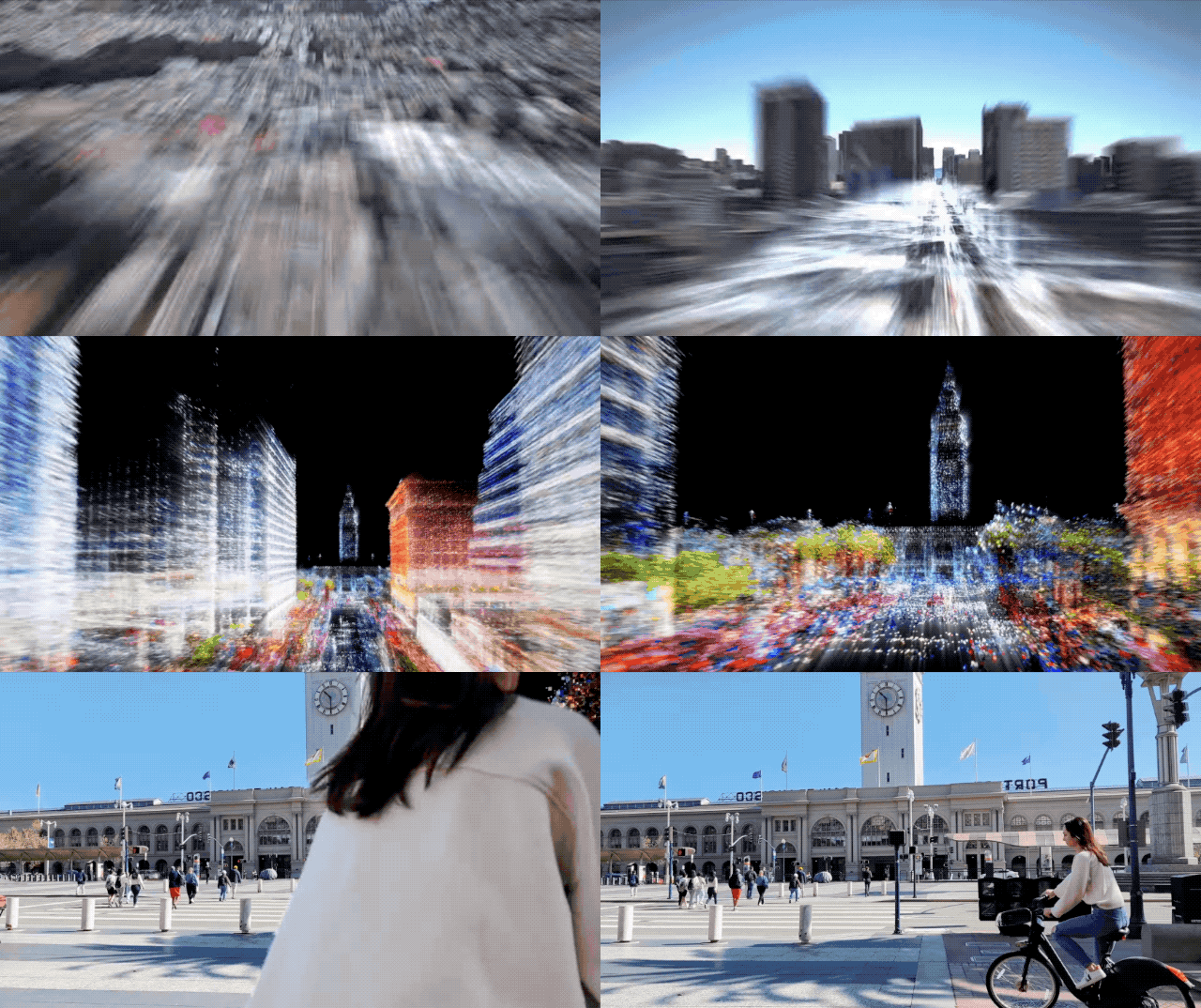
New Google API turns the world into a 3D canvas for augmented reality developers on iOS & Android…
Building world-scale AR is very complex — operationally and technically. Creating AR that realistically augment the real world requires…
Building world-scale AR is very complex — operationally and technically. AR that realistically augments the real world requires the ability to query ubiquitous, high detail 3D mapping data, thus making it inaccessible to the vast majority of developers and creators.
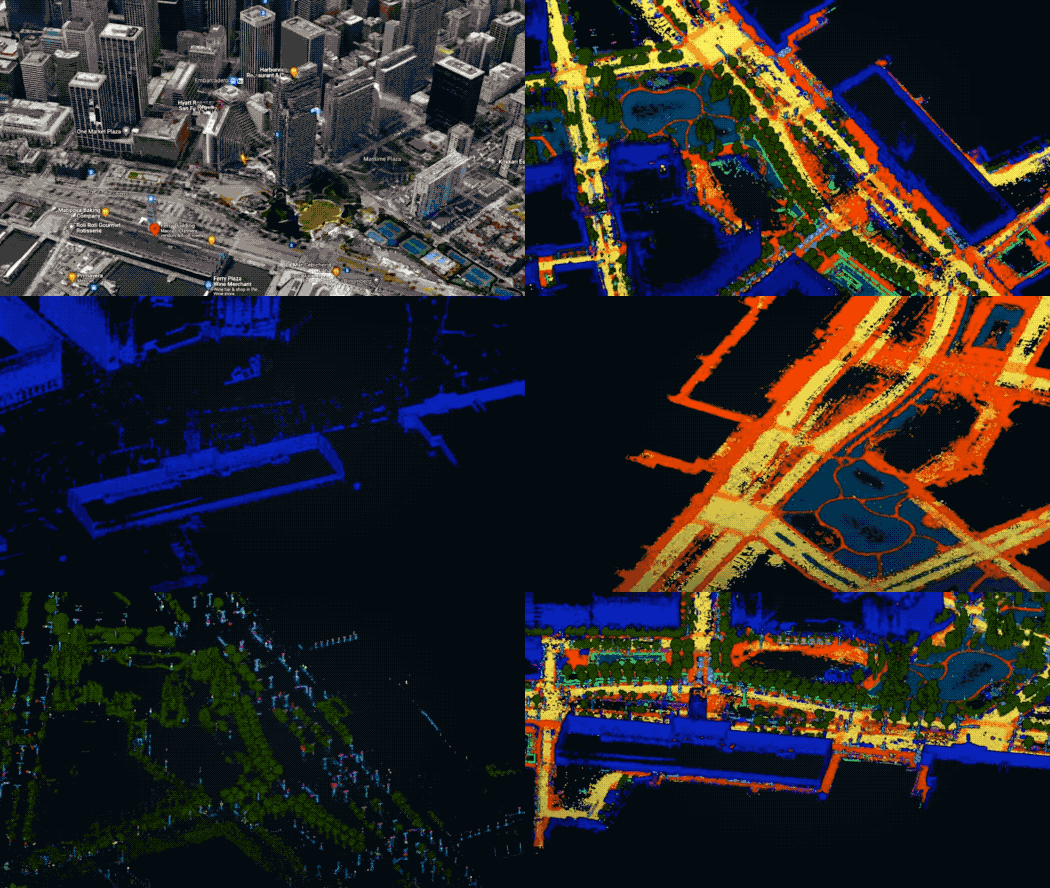
Google drastically supercharges the solution by creating Visual Position Service (VPS) — it does this by harnesses 15 years of Street View using computer vision and machine learning. A true mirror world.
Google Maps tech that powers the new big feature for ARCore — the Geospatial API turns the globe into a 3D canvas for developers on both iOS & Android. This is the same core capability which powers the Live View AR directions mode inside Google Maps, and it’s now available to third party developers in over 87+ countries.
Build global-scale, immersive, location-based AR experiences with the ARCore Geospatial API |…
The ARCore Geospatial API utilizes data from Google Earth 3D models and Street View image data from Google Maps to…developers.google.com
What’s different? Spatial anchoring solutions like Google’s Cloud Anchors API have been limited to small scale AR venues like indoor spaces. Because developers are required to pre-scan a location — it has limited the AR canvas to smaller scale indoor venues. Outdoor AR at world scale has been elusive and small scale executions have been common.
Global localization democratizes world scale AR by providing ubiquitous localization and remote content anchoring. Developers now have a global 3D canvas to start creating immersive AR experiences. Google’s global localization tech makes it possible to create location-based AR that *just works* without worrying about mapping and easily anchoring content from the comfort of your computer. Google’s 3d semantic maps power the magic.
Endless possibilities for utility and delight. Use cases for gaming and self-expression are obvious, but so are usecases in micromobility and ridesharing — where GPS quality tends to suffer in large urban cities.
Want to learn more? See how the Geospatial API fuses 15 years of street view into a 3D canvas for AR in this 15 min Google Tech Talk:


